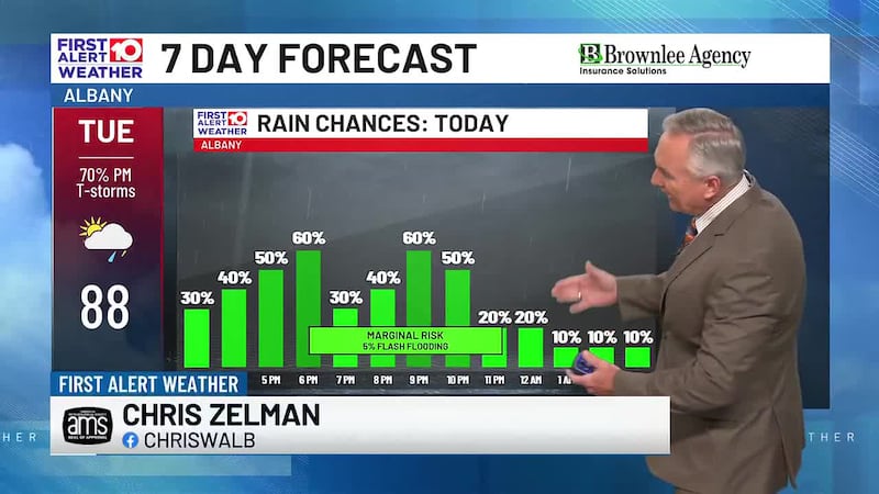
Summer pattern returns and so do the hotter temperatures
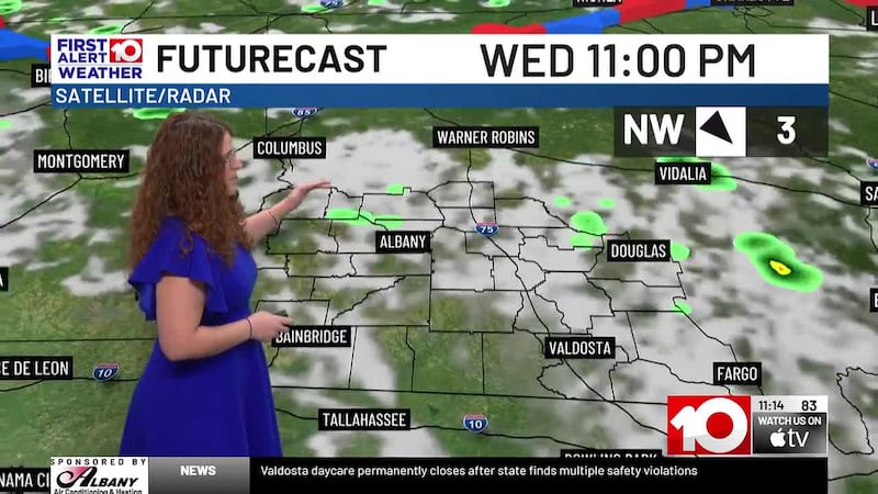
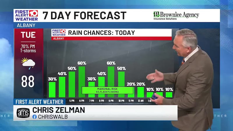
WEDNESDAY PM: Afternoon highs will near 90 degrees as we have a mix of sun and clouds. Scattered showers and storms will pop throughout the afternoon and into this evening.
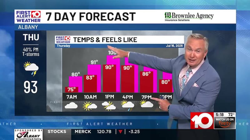
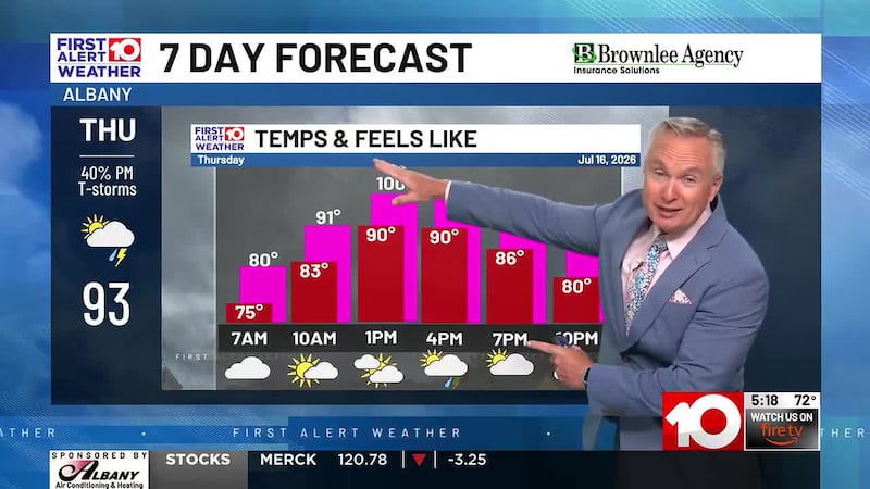
THURSDAY-FRIDAY: Mild and muggy start in the mid 70s. Heat and humidity gradually climbs to bring afternoon highs back near average in the low 90s. Heat index values will climb back near 100. Scattered showers and storms for some in the afternoon.
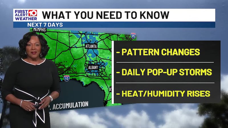
WEEKEND: Heat and humidity continues to build to make heat index values soar above 100. Afternoon highs will stick around in the low to mid 90s. PM showers and storms will develop for some.
EARLY NEXT WEEK: A few showers and thunderstorms for some each day. Mid 90s and triple digit heat indices return.
TROPICS: Model runs the last few days have hinted at a low pressure forming either in the Gulf or over central Florida. As of the latest runs, they show a low pressure forming over water, hinting at brief tropical development. Therefore, the National Hurricane Center has tagged a 20% chance of development in the NE Gulf for this weekend to early next week. It is a low chance of anything forming but if something does, there are no direct impacts expected for South Georgia. Most rain will stay in North-Central Florida but this could aid our scattered shower and storm chances in the next 5 days.
First Alert Meteorologist
Daniella Streety
To stay updated on all the latest forecasts and weather, follow WALB News 10 Weather on Facebook and X (Twitter).
Click here to see all the latest weather headlines and here to view the First Alert Radar. To keep up with all things South Georgia weather, click to download the WALB First Alert Weather app on the Apple App Store and the Google Play Store.
Copyright 2026 WALB. All rights reserved.