PM showers and storms, drier pattern into the rest of the work week
Summer pattern and 90s return Wednesday
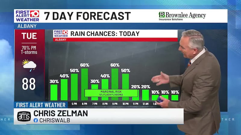
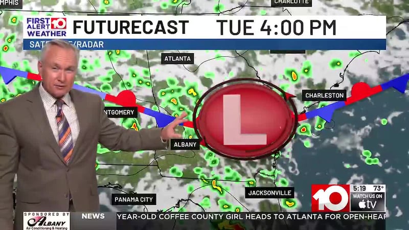
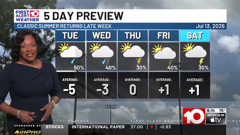
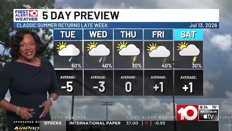
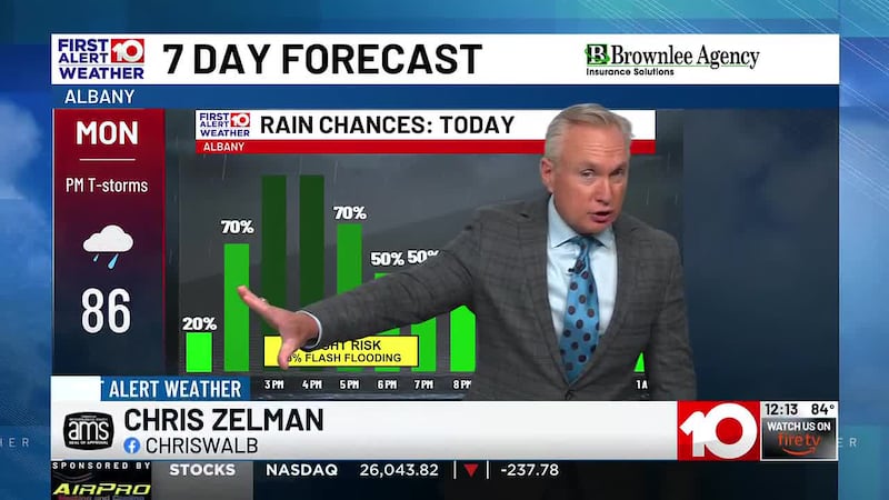
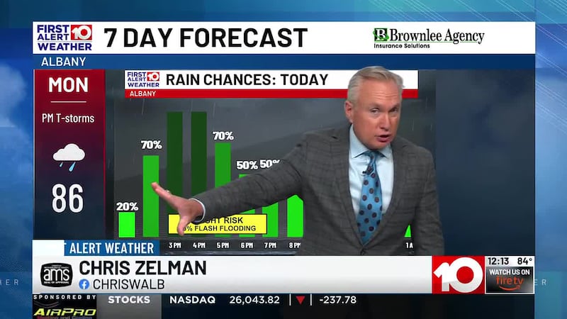
TUESDAY PM: A few popcorn showers are appearing across South Georgia around lunchtime. It will be warm and muggy throughout this afternoon with temperatures in the upper 80s. Showers and storms will begin popping up early this evening. Heavy downpours, gusty winds, and frequent lightning are all possible.
WEDNESDAY: We will start off mild and muggy in the low 70s but temperatures will begin to rise back in the 90s in the afternoon. Rain chances will be much more isolated.
LATE WEEK: Drier pattern continues with more hot sun and humidity. Afternoon highs stick in the 90s with heat indices around 100.
WEEKEND: Heat and sunshine continues but chances of afternoon showers and storms become more scattered.
NEXT WEEK: Chance of tropical development has decreased. Scattered afternoon storms possible with seasonal pattern still lingering.
First Alert Meteorologist
Daniella Streety
To stay updated on all the latest forecasts and weather, follow WALB News 10 Weather on Facebook and X (Twitter).
Click here to see all the latest weather headlines and here to view the First Alert Radar. To keep up with all things South Georgia weather, click to download the WALB First Alert Weather app on the Apple App Store and the Google Play Store.
Copyright 2026 WALB. All rights reserved.