Tumbling temps as bitterly cold air arrives
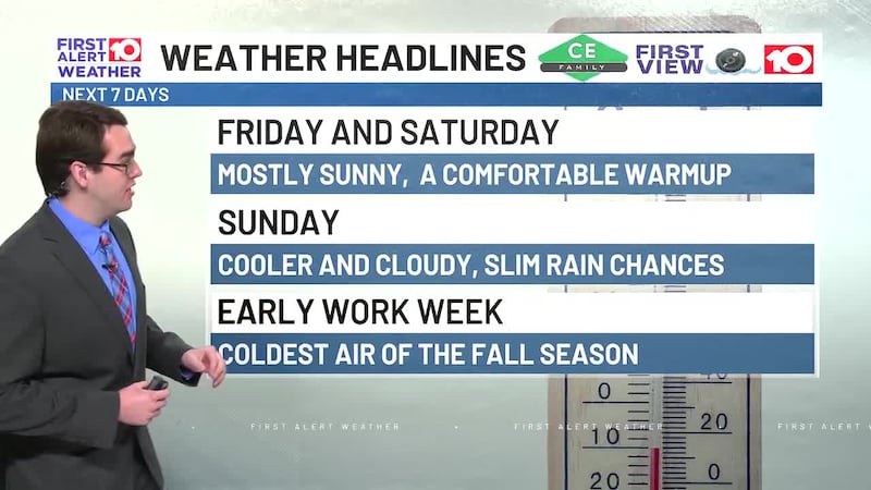
ALBANY, Ga. (WALB) - Fantastic fall weather of wall to wall sunshine and pleasantly mild mid-upper 60s ended the week. Following areas of patchy fog and lows mid 40s, look for more sunshine with warmer low-mid 70s on Saturday.
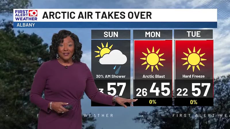
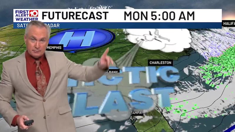
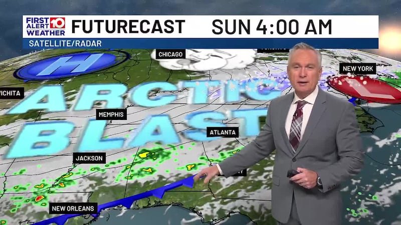
Saturday evening a major shift in the weather pattern begins as an arctic front heads into the region. Ahead of the boundary, clouds thicken with isolated showers into Sunday morning. As the front slides through a brisk NW wind quickly ushers in much colder air. It’ll be the coldest of the season so far.
You’ll notice and feel the wind shift with clouds clearing and falling temperatures Sunday afternoon. Overnight lows dive into the 20s while feeling more like the teens when factoring in winds 10-15mph on Monday. Bundle up as highs struggle to climb out of the 40s.
The arctic chill sends lows into the low 20s Tuesday morning as highs rise into the mid-upper 50s.
Midweek brings a warming trend. Not as cold but still near freezing low 30s as highs return to seasonal mid 60s on Wednesday.
Late week the frigid airmass continues to relax with lows mid 40s to low 50s and highs upper 60s low 70s. Rain chances remain slim with only a slight chance for isolated showers.
To stay updated on all the latest forecasts and weather, follow WALB News 10 Weather on Facebook and X (Twitter).
Click here to see all the latest weather headlines and here to view the First Alert Radar. To keep up with all things South Georgia weather, click to download the WALB First Alert Weather app on the Apple App Store and the Google Play Store.
Copyright 2025 WALB. All rights reserved.