Big changes for the weekend and beyond
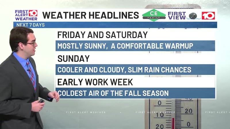
ALBANY, Ga. (WALB) - Much brighter and as the sun returned on Tuesday. Highs topped mid -upper 50s as highs clouds rolled into SGA. A thick cloud deck overnight keeps lows slightly above freezing mid-upper but still a cold morning. Clouds linger with peaks of sunshine and cool upper 50s through the afternoon. Enjoy more sunshine and seasonal low 60s Thursday and Friday.
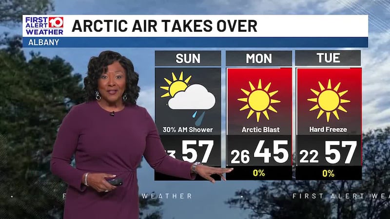
Into the weekend, rain moves in ahead of a cold front. Expect a washout on Saturday with rain tapering off early on Sunday. Not as chilly with lows mid 40s to low 50s and highs low 60s.
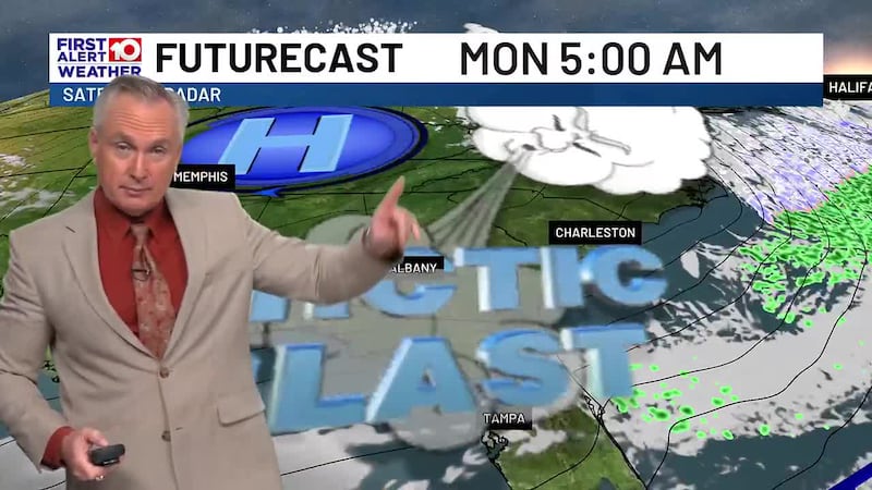
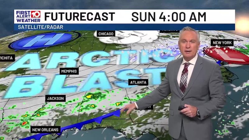
As the cold front slides through Sunday prepare for tumbling temperatures as the coldest air of the season dives into the Deep South. This one colder than last week an timely as the latter part of January brings the coldest temperatures. Highs drop into the 40s and lows below freezing low 30s then into the 20s.
As the colder air settles in next week, things could become very interesting. New forecast models are showing the potential for a wintry mix of snow and ice Tuesday into Wednesday. Still a bit early but models are trending toward wintry weather. Check back for updates but be prepared.
Have a news tip or see an error that needs correction? Let us know. Please include the article’s headline in your message.
To stay up to date on all the latest news as it develops, follow WALB on Facebook and X (Twitter). For more South Georgia news, download the WALB News app from the Apple Store or Google Play.
Copyright 2025 WALB. All rights reserved.